Habitat Photos from the Splinter Hill Bog Preserve (Baldwin County,
Alabama) Taken During the Lepidoptera Biodiversity Blitz from 26 April-1 May
2016.
ARTICLE:
Habitat Photos Are Presented in the Following Order
1. Pitcher Plant Bog
2.
Hardwood Swamp Along Dyas Creek
3.
Xeric Upland Oak-Pine Savanna
4.
Narrow Wetland Along Shallow Creek Through Xeric Oak-Pine Uplands
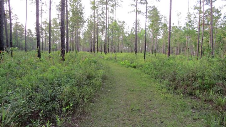
5. Trail Through Xeric Oak-Pine Forest
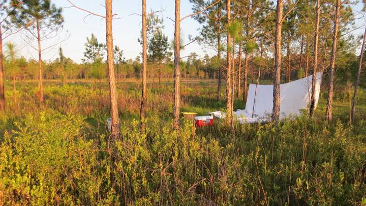
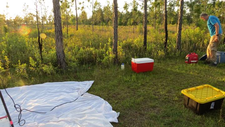
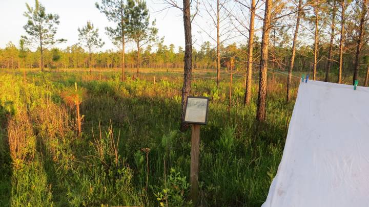
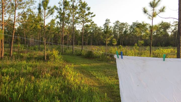
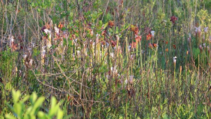
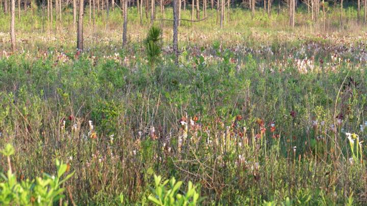
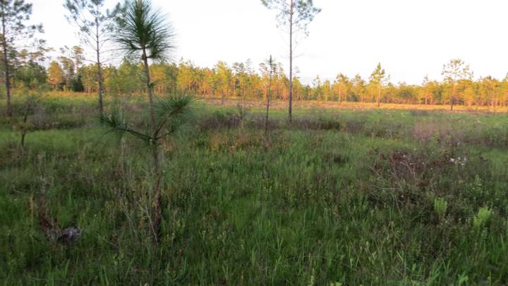
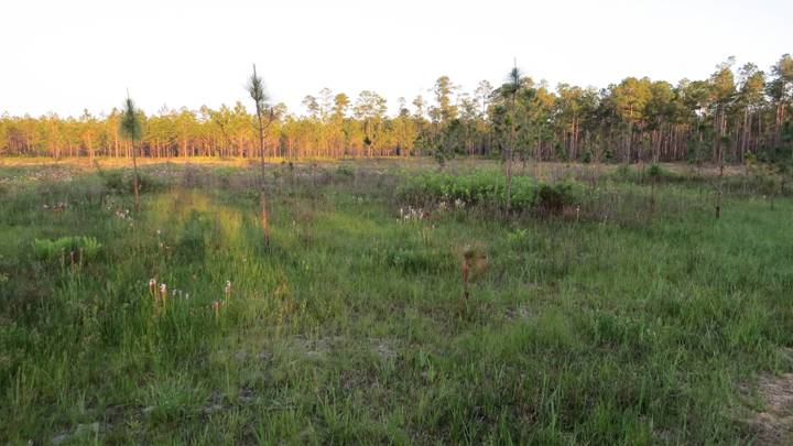
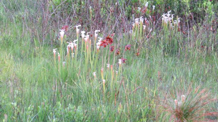
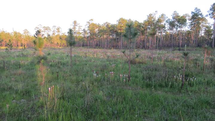
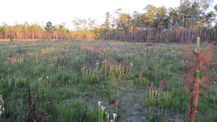
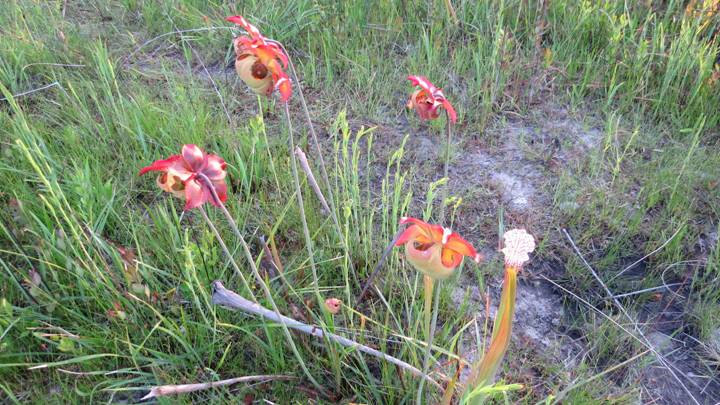
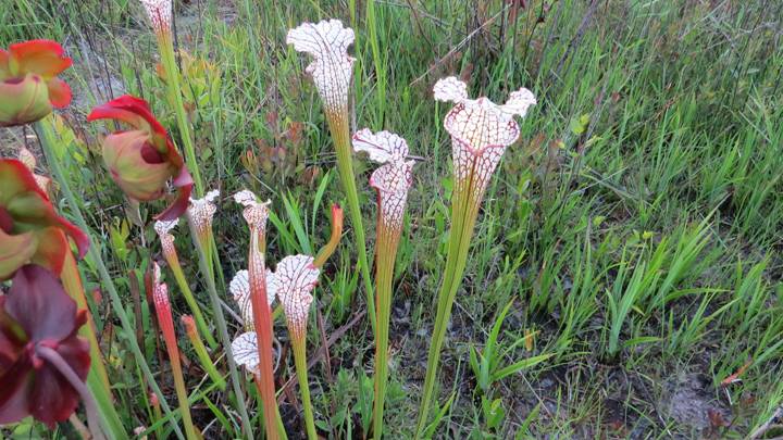
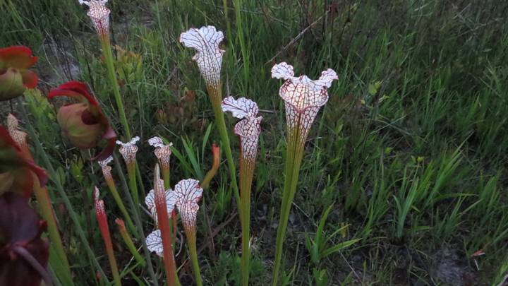
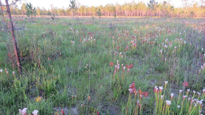
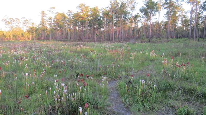
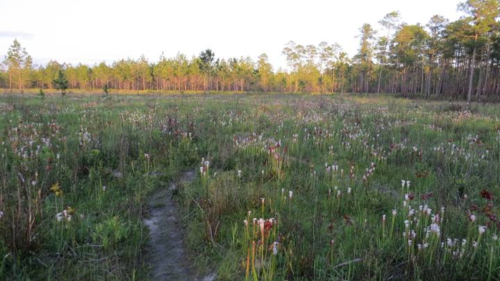
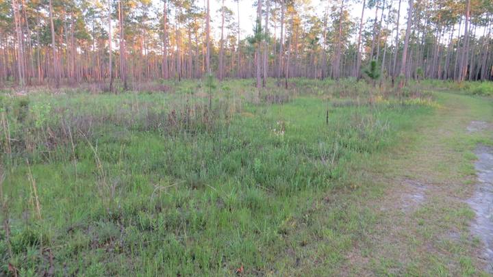
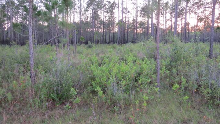
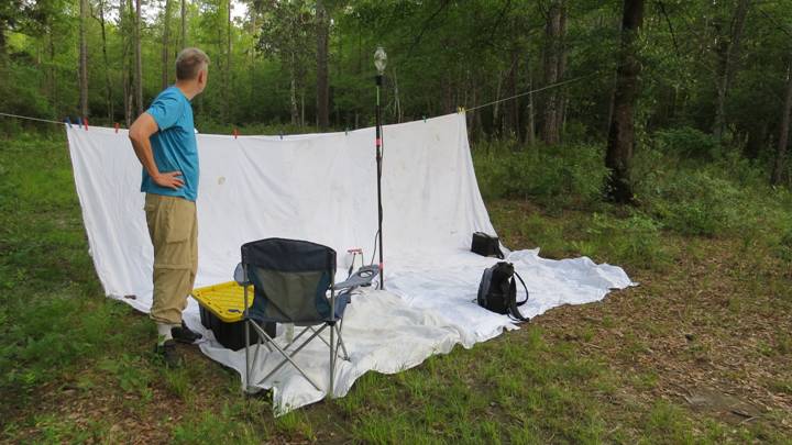
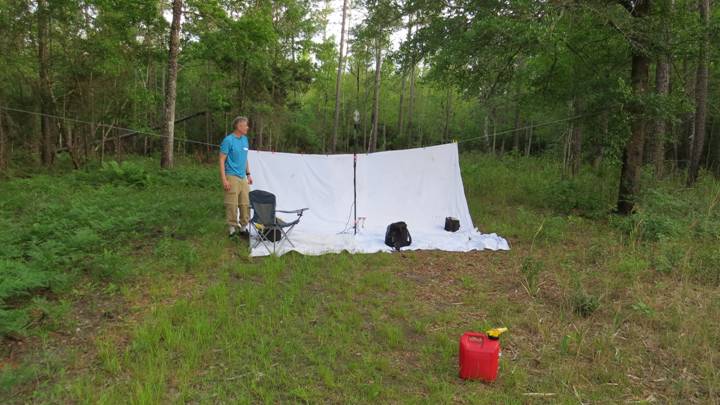
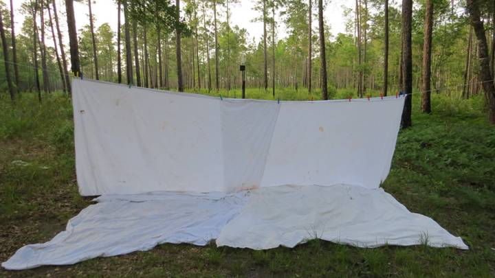
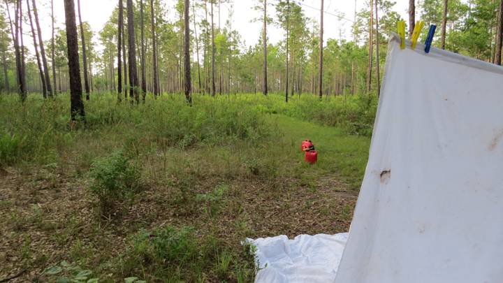
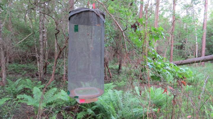
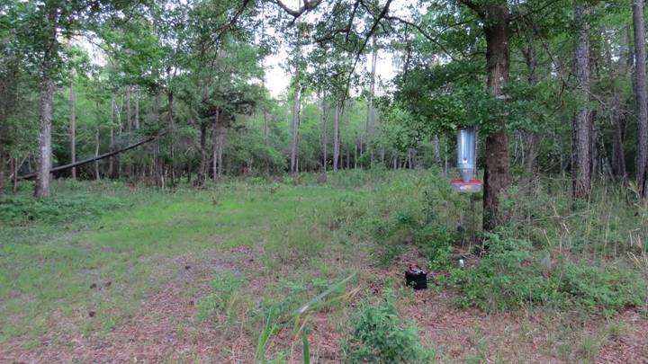
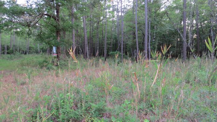
1. Pitcher Plant Bog
[Includes survey stations MV Sheet 1, UV Traps 3 and 4, and Diurnal Survey
Area D1 (in part)]

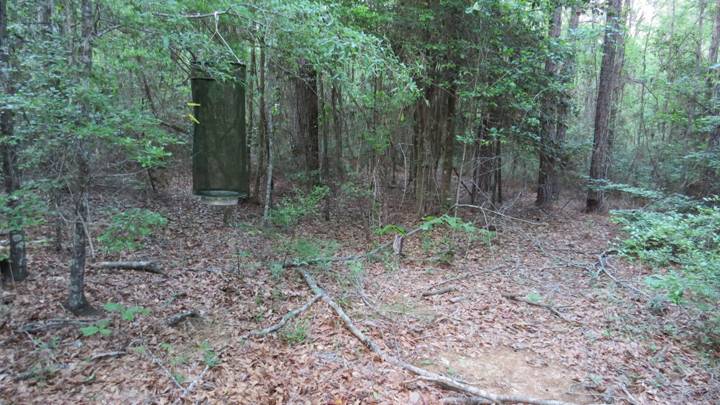
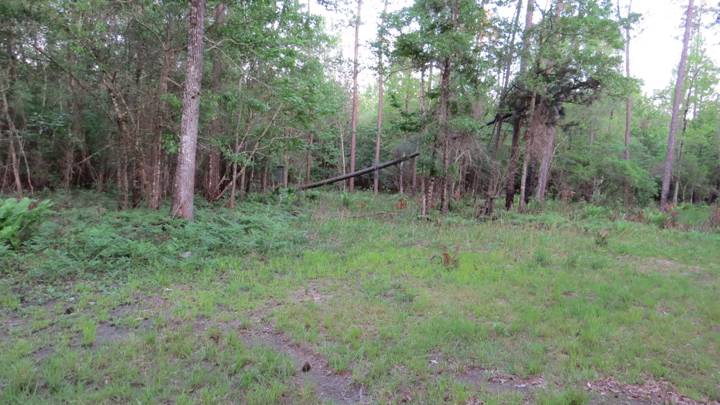
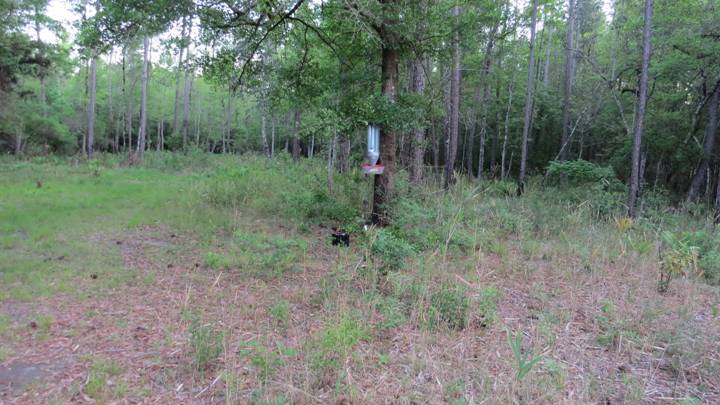
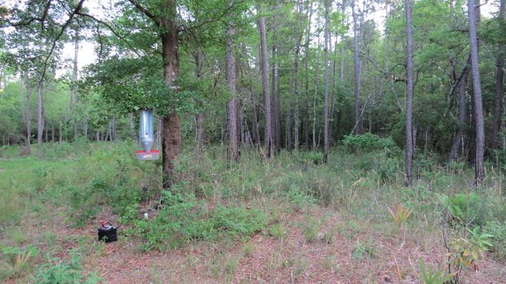
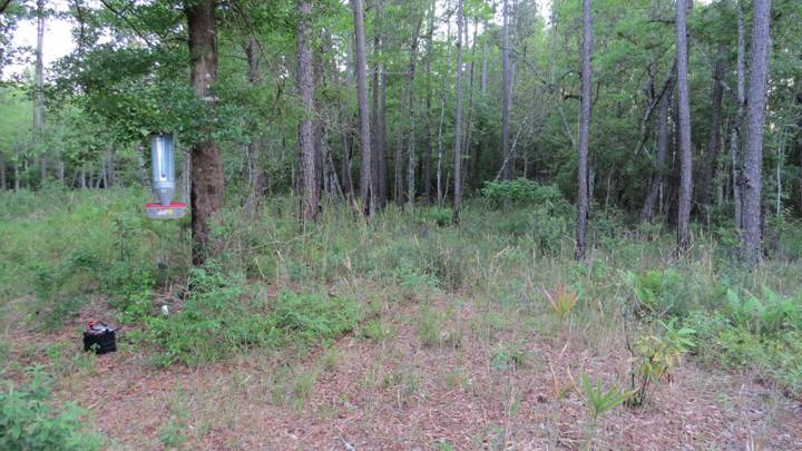
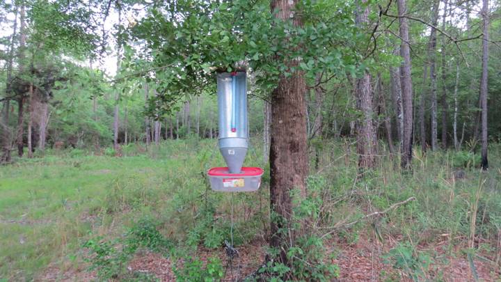
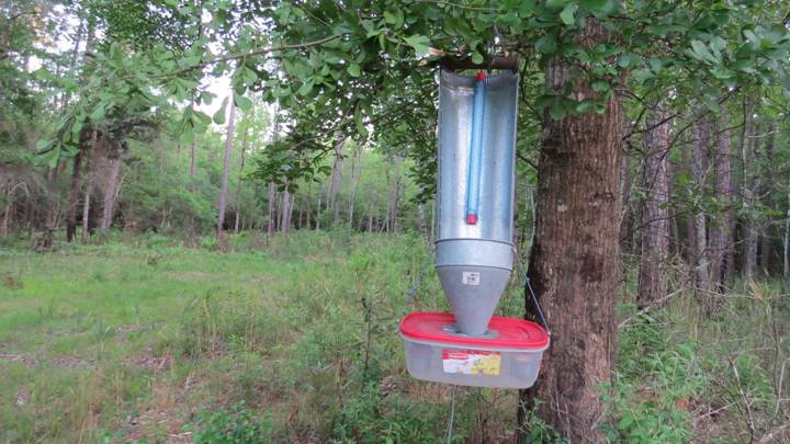
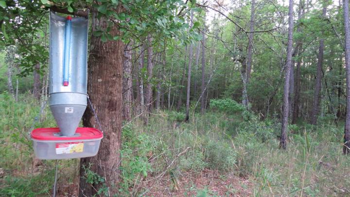
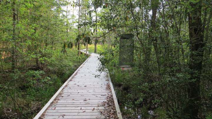
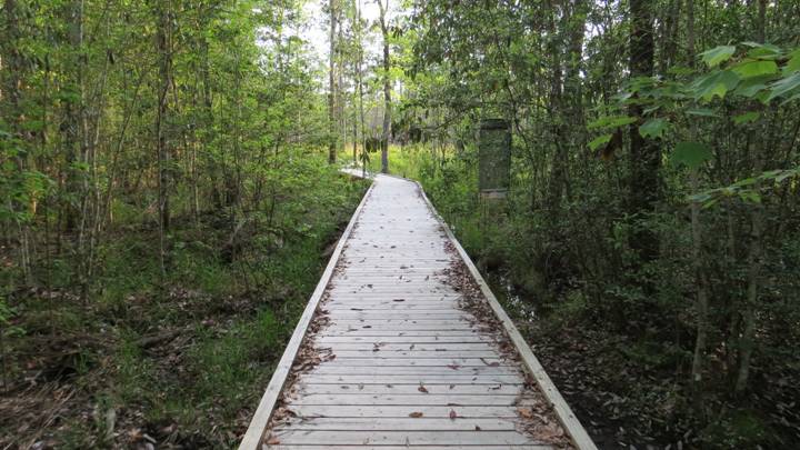
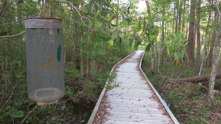
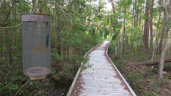
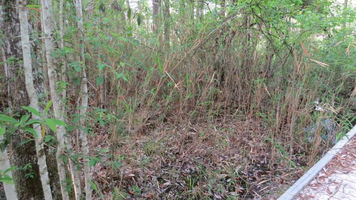
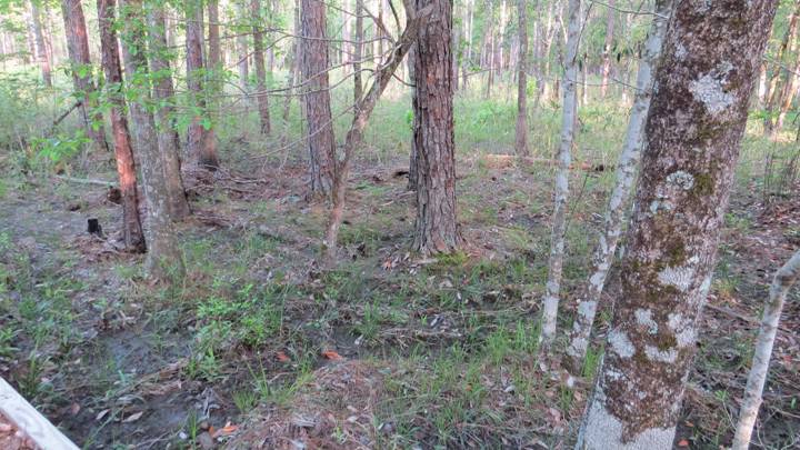
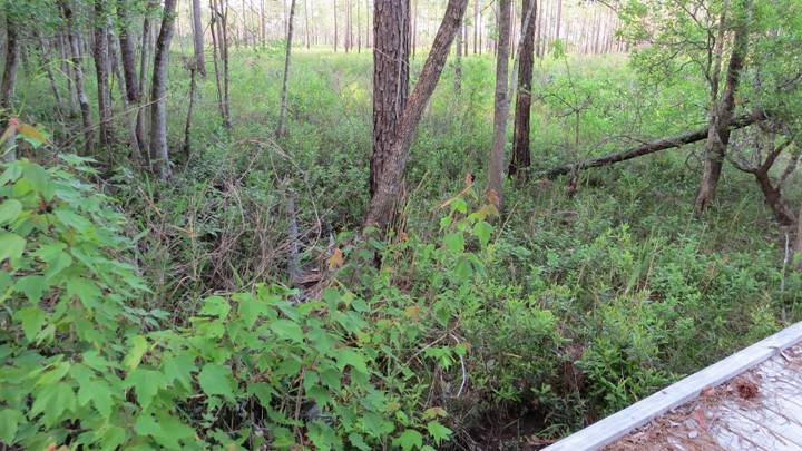
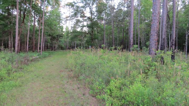
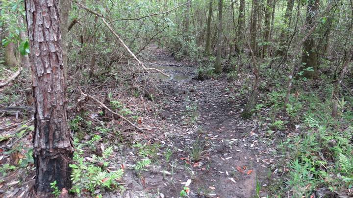
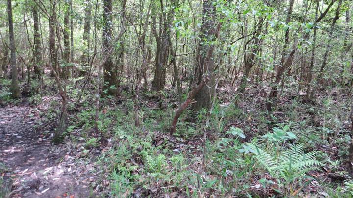
2. Hardwood Swamp Along Dyas Creek
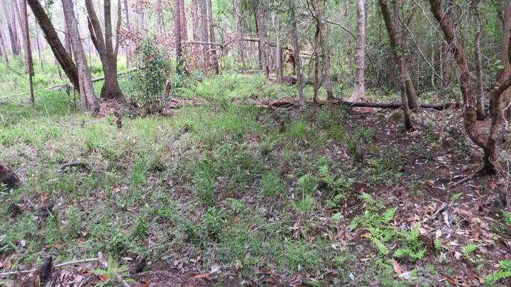
Opening in Hardwood Swamp Along Dyas Creek near South End of North/South
Hiking Trail East of Boardwalk
[Includes survey stations MV Sheet 2, UV Trap 2, Bait Trap 1, &
Diurnal Survey Area D1 (in part)]
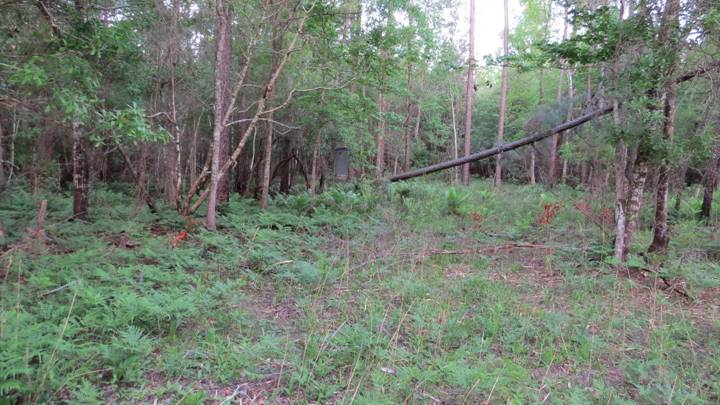
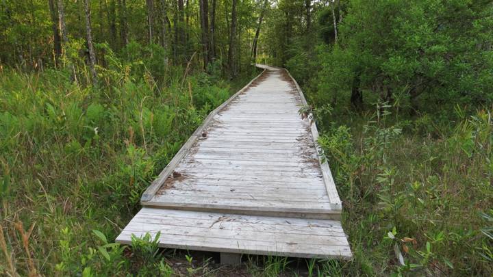
Boardwalk in Hardwood Swamp Along Dyas Creek
(Includes survey stations Bait Trap 2 & 3)
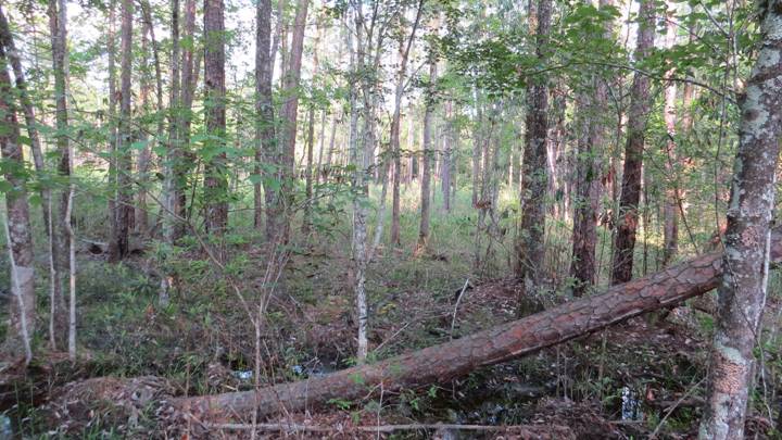
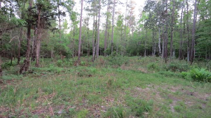
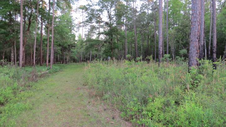
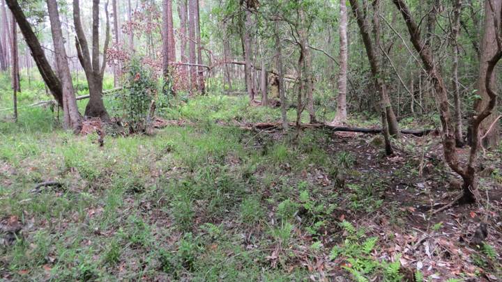
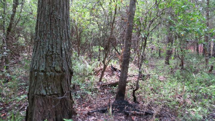
Edge of Hardwood Swamp Along Dyas Creek near South End of North/South
Hiking Trail East of Boardwalk
[just north of survey stations MV
Sheet 2, UV Trap 2, & Bait Trap 1]

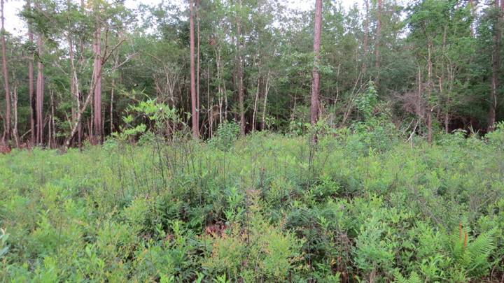
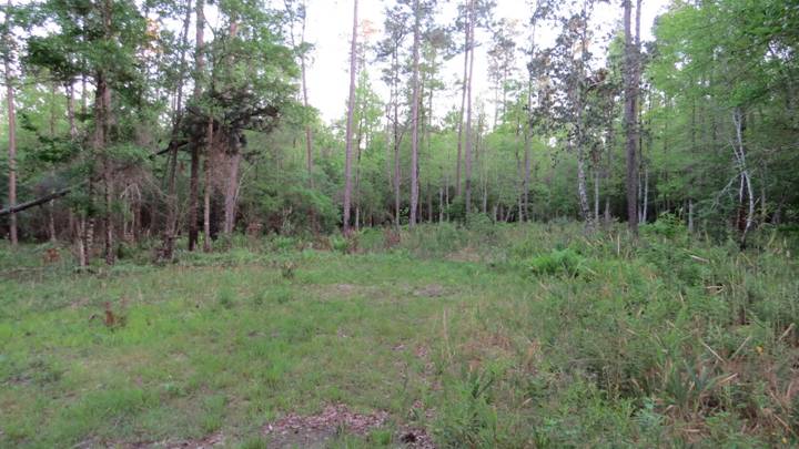
Hardwood Swamp Along Dyas Creek at
South End of Upland Hiking Trail West of the Boardwalk
[Diurnal Survey Only: Area D3]
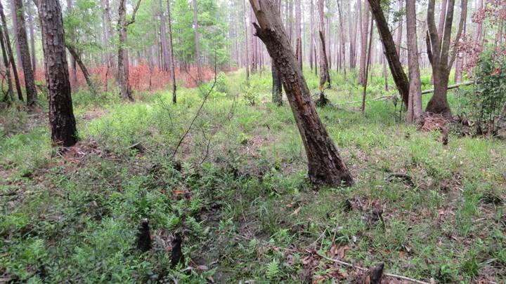
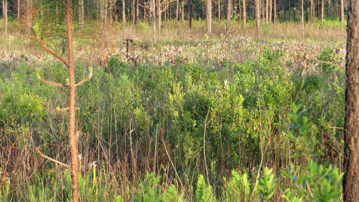
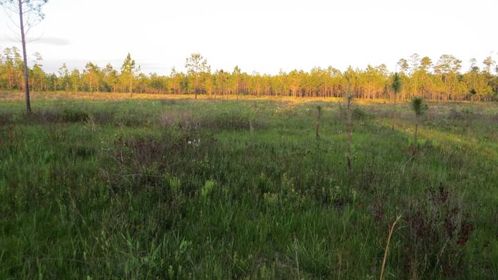
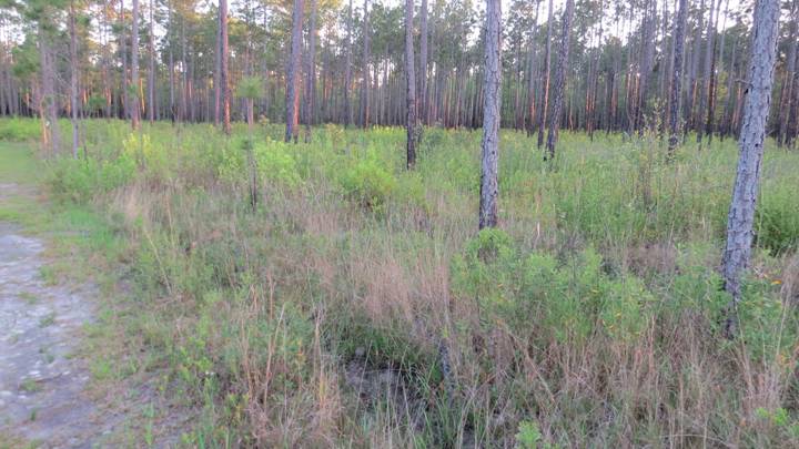
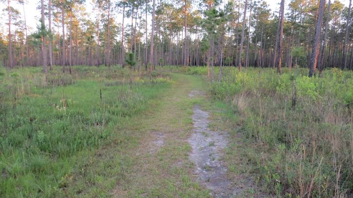
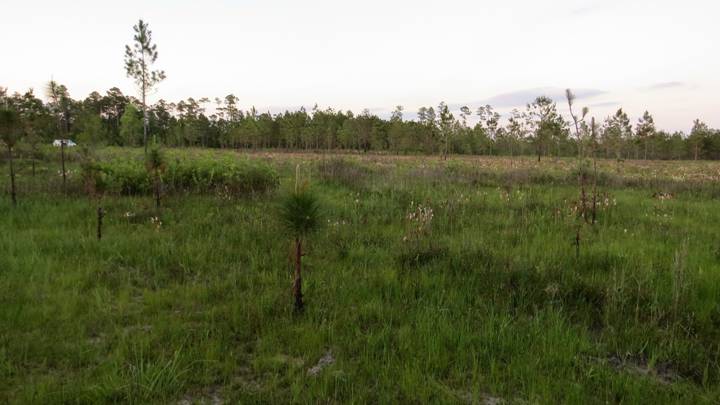
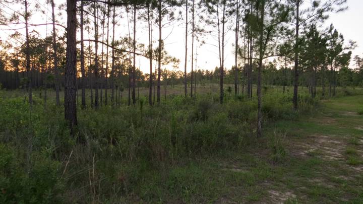
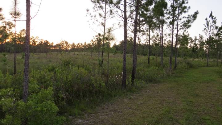
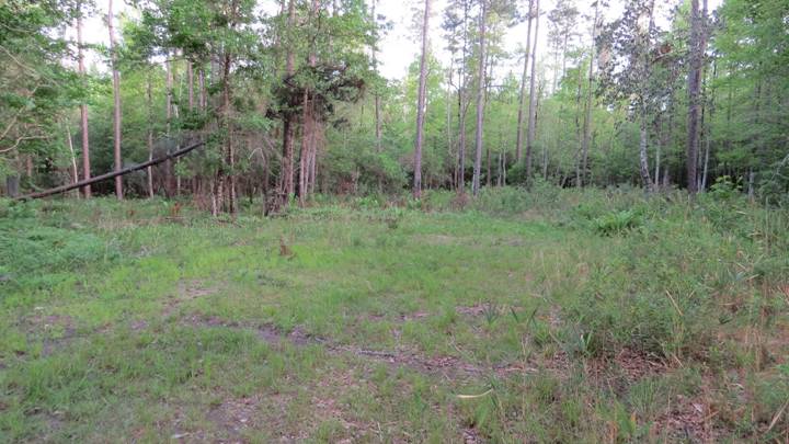
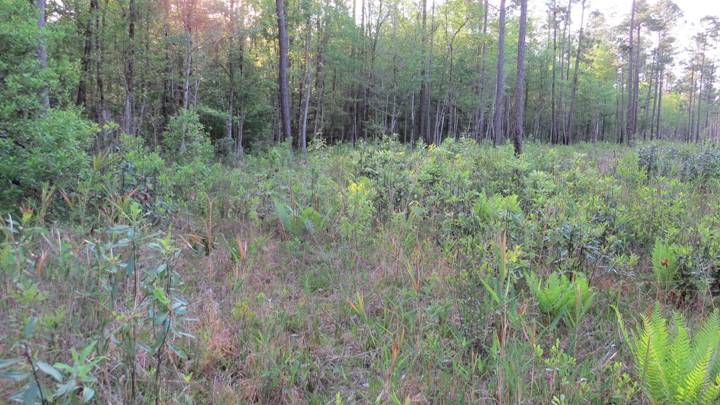
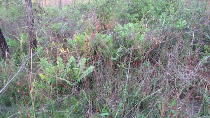
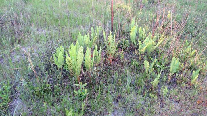
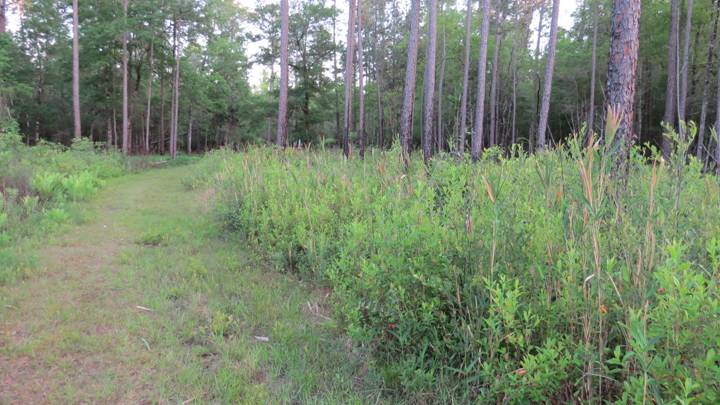
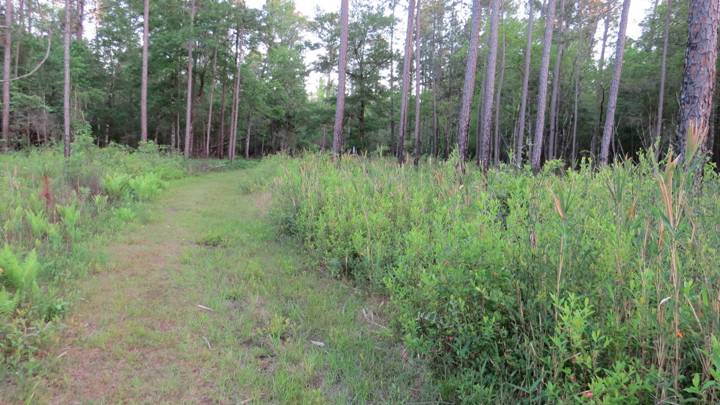
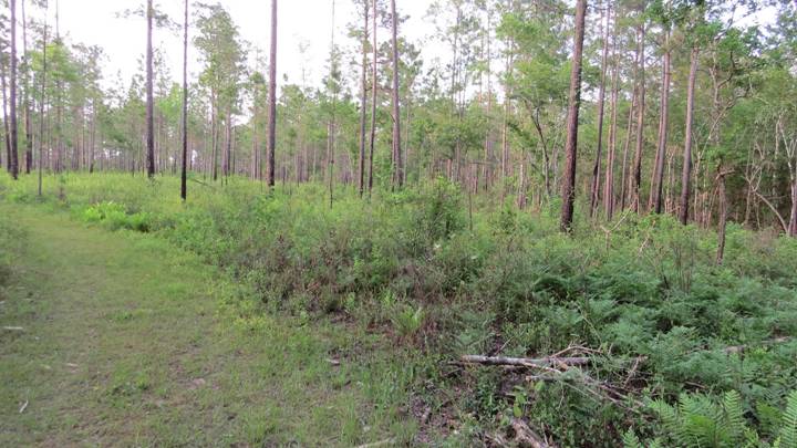
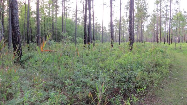
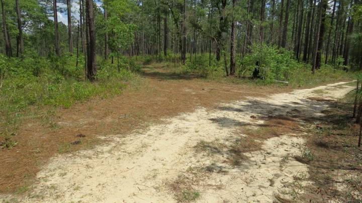
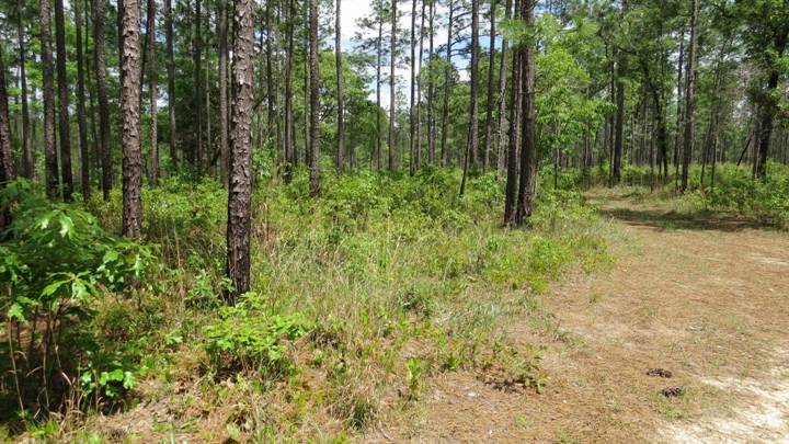
3. Xeric Upland Oak-Pine Savanna
[Diurnal Survey Only: Area D2]
Area Not Burned in 2016
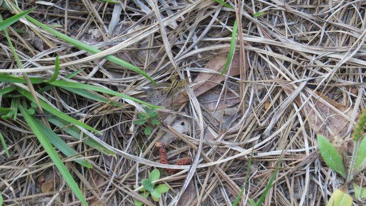
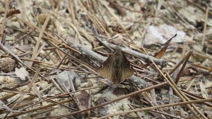
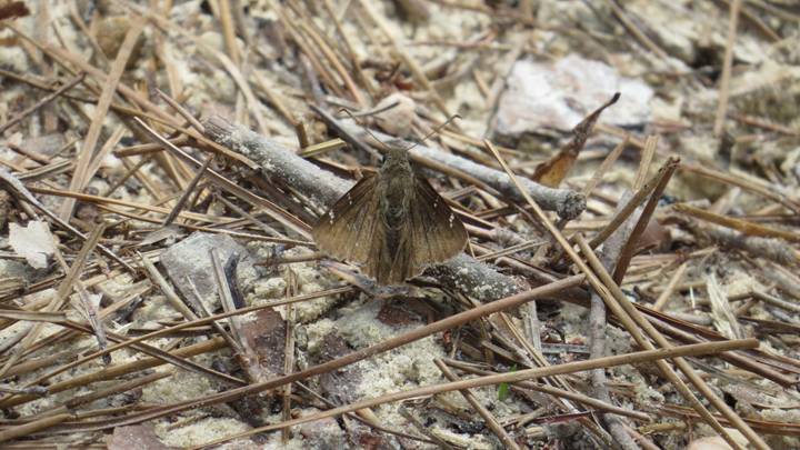
Thorybes confusis (Hesperiidae)
on Sandy Road
[Not reliably identifiable from the photo, but this
individual was collected and dissected after the photo was taken]
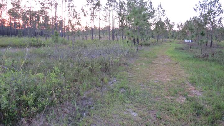
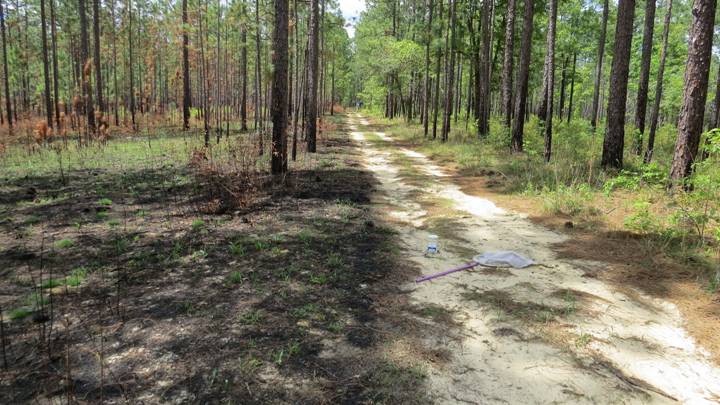
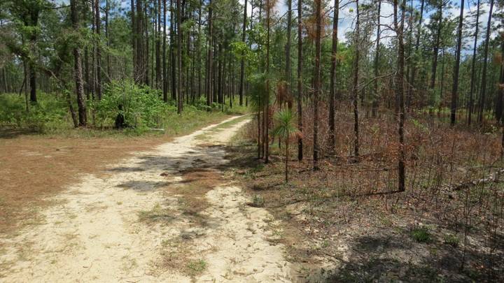
Area Burned in 2016
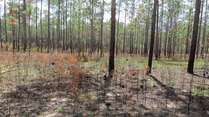
Burned Area (Left) and Unburned Area (Right)
Burned Area (Right) and Unburned Area (Left)
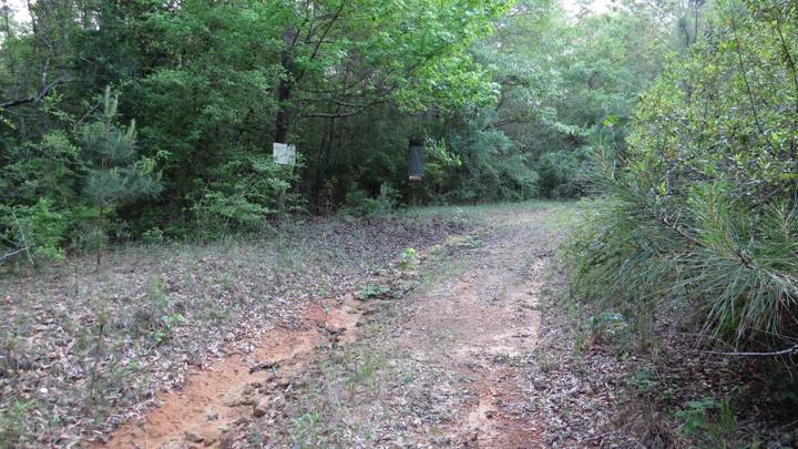
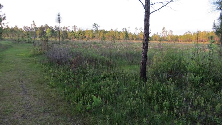
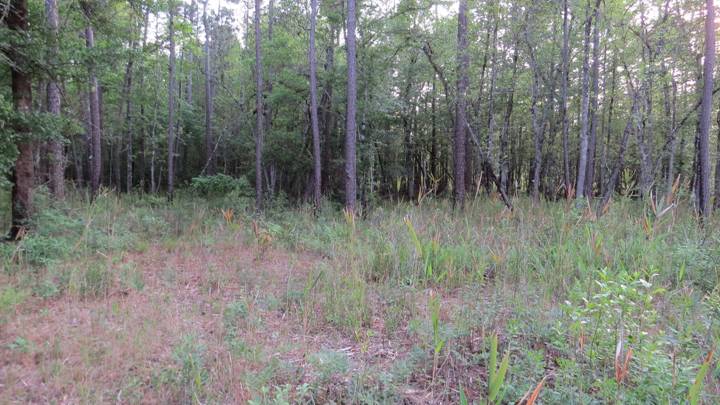
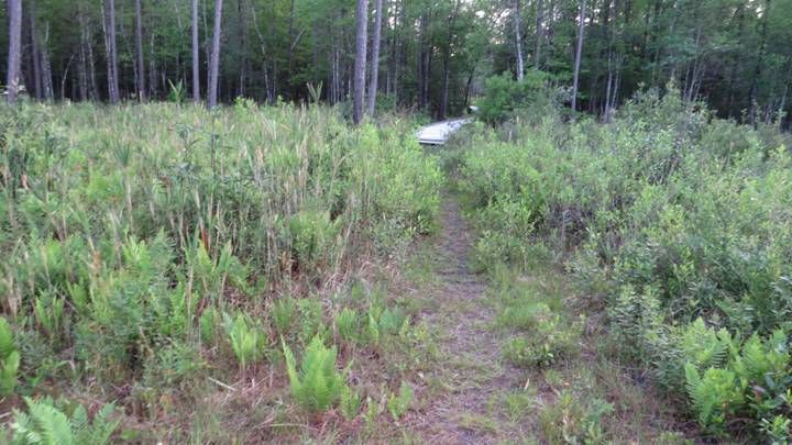
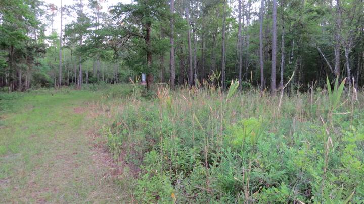
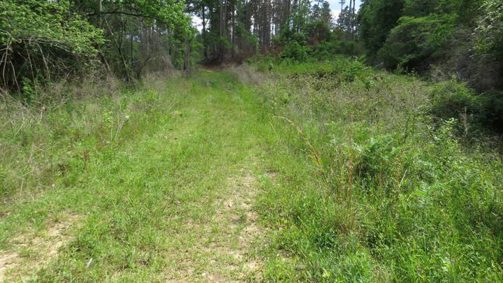
4. Narrow Wetland Along Shallow Creek Through Xeric
Oak-Pine Uplands
[Dirnal Survey Only, Diurnal Area D4 (in part)]
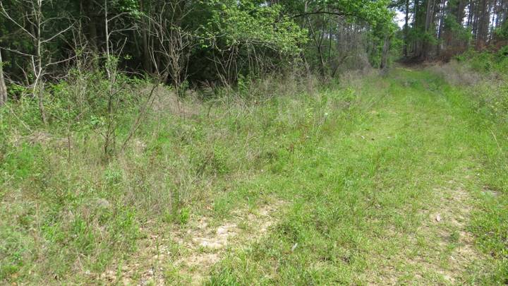
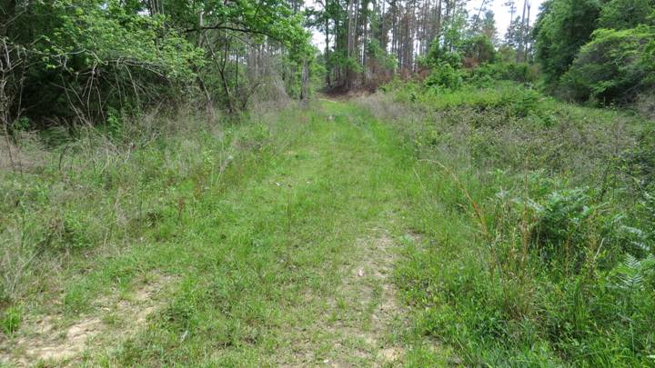
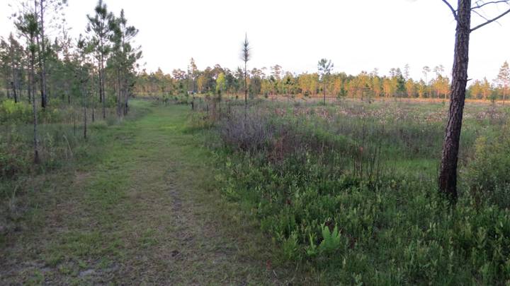
The Shallow Creek Crossing Hiking Trail
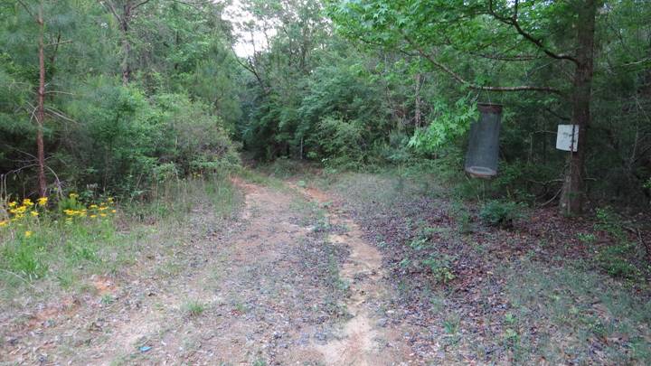
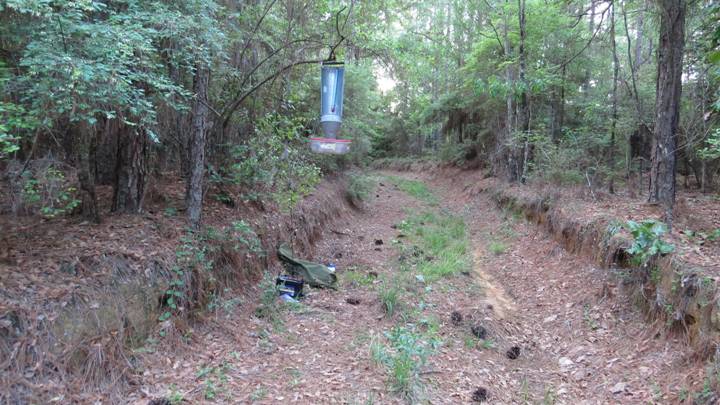
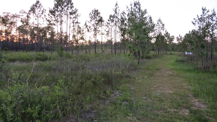
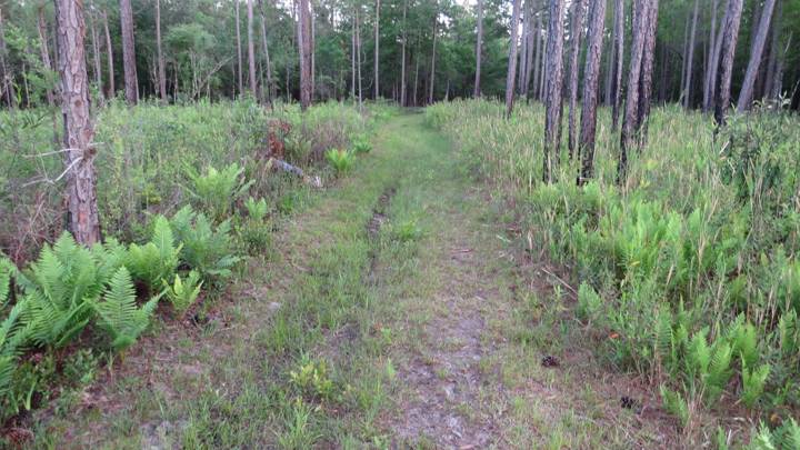
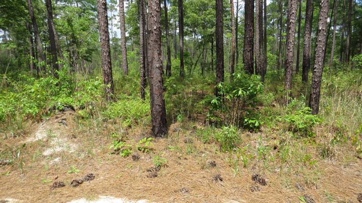
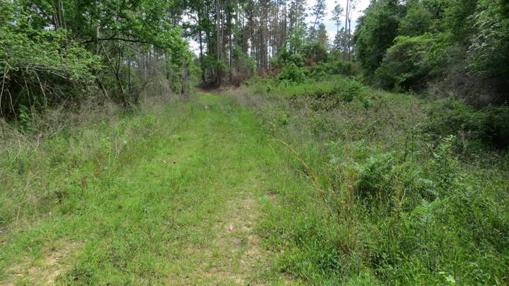
5. Trail
Through Xeric Oak-Pine Forest
[Includes Survey Stations UV Trap 1, Bait Traps 4-7,
and Diurnal Area D4 (in part)]